This week will be characterised by mostly calm and workable conditions across the central and southern parts of the North Sea. In the north, stronger winds and higher waves are expected, though no extreme values are anticipated. High pressure is forecast to move northeast over the North Sea and settle over Scandinavia in the latter half of the week, leading to a shift in winds to an easterly direction from Friday onwards.
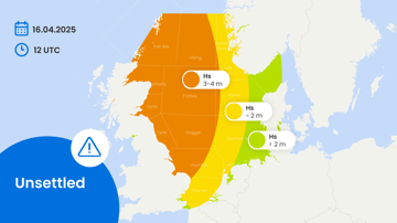
A frontal trough will cross the North Sea on Tuesday, likely bringing the strongest winds and highest waves of the week to the southern and central North Sea on that day. Southwesterly winds will range between 20 and 30 knots across the entire North Sea, while significant wave heights will vary from 1.0 to 2.0 metres in Thames to between 4.0 and 5.0 meters in Viking.
High pressure begins to build over England on Wednesday, moving northeast across the central North Sea on Thursday and settling over Scandinavia by Friday. As low-pressure systems continue to affect Iceland and the Norwegian Sea, strong southerly winds will persist over Viking and the northern part of Forties. Calm conditions are expected over the central and southern North Sea. However, attention should be given to the potential development of east-northeasterly winds, which may strengthen in the southern North Sea.
Significant wave heights are expected to remain below 2.5 meters in the southern and central North Sea from Wednesday onward, while waves in the north will range between 3.5 and 4.5 meters.