Offshore weather forecasts help with planning and scheduling your operations. The accuracy of the forecast determines the efficiency of the operations. Depending on the location of your offshore operations, calibration of the used weather model might be a necessity though.
Some of the most well known and most used global weather models are Global Forecast System (GFS), European Centre for Medium-Range Weather Forecasts (ECMWF) and there are many other other wave and hydrodynamic models. However, these are not necessarily focused on marine conditions and don’t always consider the local bathymetry and topography. That's where calibration of the models comes in.
Let’s take a look at how calibration based on local conditions can result in more accurate offshore marine forecasts.
How is an initial local marine weather forecast determined?
For most providers, the initial weather forecast modelling begins with datasets from a global weather model. These datasets, and the parameters set by the meteorologists and modelers, work together to produce provisional activity forecasts for the suggested area and time. This information is considered to be adequately reliable and is further verified and corrected by cross-referencing with other models.
The next step is to assess waves and oceanic activity. To do this, several wave forecasting models (depending on the location) and ocean current models are considered. The in-house modelers can adjust input parameters to match local wave characteristics. By doing so, modelers help improve the offshore marine forecasts.
What if an offshore weather forecast isn't accurate?
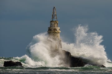
Many external factors can impact accuracy, usually related to local bathymetry or coastal topography. Any one of these can affect the weather conditions, from increased or decreased wave height to wind gusts generated by cliff edges.
It is conditions like these where forecaster experience plays its part. Adding in a human element with someone who understands the area and can interpret the effect it has on the local conditions is an invaluable tool. They can look at the bigger picture and optimise the overall forecast to consider these potential issues.
A lot of this can be completed via live observations and calibrations, though not all forecaster providers have this service.
The calibration process
Calibration through validation is a very simple process that has huge accuracy implications.- Although any quantitative feedback from the site is useful, the best way of receiving observations is from a sensor (anemometer or wave buoy) that provides observation data near real time.
- Once deployed, ask your weather forecast provider to compare the initial forecast against observations from the sensor. The data allows them to review the model accuracy for parameters like wind speed, wind direction and (significant) wave height.
- The in-house modellers then adjust the model configuration accordingly.
- The calibration is repeated to ensure the data remains as accurate as possible.
Some marine weather forecast providers, like Infoplaza, use these regular calibrations and location-specific model adjustments going forward to ensure higher levels of accuracy.
What it all comes down to is the quality of the models used as well as consideration for potential external impactors. A forecast generated using commonly-available models and datasets will give you a relatively reliable forecast. However, sometimes the accuracy of offshore marine weather forecasts simply require further calibration. If you’re looking for a more accurate offshore weather forecast, collecting observational data is the best way to be able to plan your operation more efficiently.
Using marine weather forecasts to your advantage
Do you want to know more about how weather data could actually work in your advantage? Read more about it in our free whitepaper How to reduce downtime in offshore operations. You'll learn more about how the right weather insights allow you to minimize non-productive time by switching from Plan A to Plan B in a blink of an eye.


