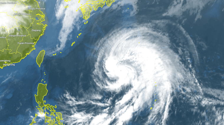
In the Philippine Sea, east of the Philippines, Typhoon MALAKAS tracks northward toward Japan. Although the effect of this specific typhoon remains limited, it does look like an early start of the typhoon season.
This typhoon, like many others, originate in the Inter Tropical Convergence Zone (ITCZ). This band of low pressure is the area where the solar radiation is highest, resulting in a band of cumulative clouds and rain showers. Low pressure areas develop in the ITCZ and track northward, while further developing under influence of warmth and moisture. Infoplaza's meteorologist Leon Saris explains: "As the northern hemisphere warms up in summer, the sea surface temperature increases and typhoon development is more intense. The sea surface temperature around Japan is about 15 degrees now, but will increase to about 25 degrees."
Fairly calm typhoon season
This is why for Typhoon MALAKAS, the wind speeds are already decreasing before reaching Japan. The sea surface temperature is simply too cold for further development. This year is expected to be a fairly calm typhoon season with sea surface temperatures remaining relatively low near Indonesia. This is also known as the La Niña state of the Pacific Ocean. What the exact conditions this summer will be, are largely affected by chance, but the current sea surface temperatures point to a mild typhoon season.
Infoplaza helps to decide in complex marine operations by providing a detailed weather and wave forecast. Good weather decisions will determine the success of your work offshore.
Infoplaza weather and wave information
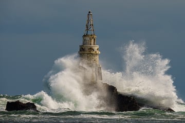
This article shows the importance of understanding weather and how it might affect marine operations, as the weather has a large impact on the behavior of the sea. Infoplaza can provide accurate and precise wind and wave forecasts to help you minimize the effect of strong low-pressure areas on your offshore operations.


